Ignite UI地理地図
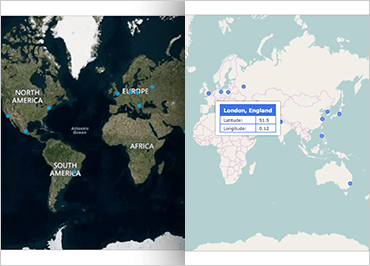
Ignite UI for JavaScript Map コンポーネントは、地理データを視覚化する機能をアプリケーションにもたらします。マーカー、線、ポリゴン、さらにはインタラクティブなビットマップの形状の多くの地理的位置で構成されるデータセットをレンダリングできます。地図コンポーネントには、複数の地図レイヤーを地理データ (Bing や Open Street などのプロバイダーからのデータを含む) でオーバーレイする機能が含まれており、特定の地理的な場所をマークし、カスタム マーカーと色を使用して情報を表示することができます。
サンプルを見る
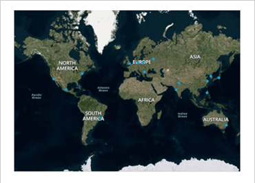
Bing/オープンストリートマップ
Ignite UI for JavaScript Map を使用すると、Open Street や Bing のイメージ タイルでマップをオーバーレイするのが非常に簡単になります。航空写真、道路、またはラベル付きの航空写真を選択できます。
サンプルを見る
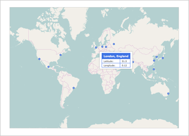
カスタムマップツールチップ
Ignite for JavaScript UI Map コンポーネントにカスタム ツールチップを追加すると、重要な情報を一目で把握できる簡単で直感的な方法です。HTML ベースのテンプレートを提供するだけで、データのリストと JavaScript の Map コンポーネントのIgnite UIが残りの処理を行います。
